


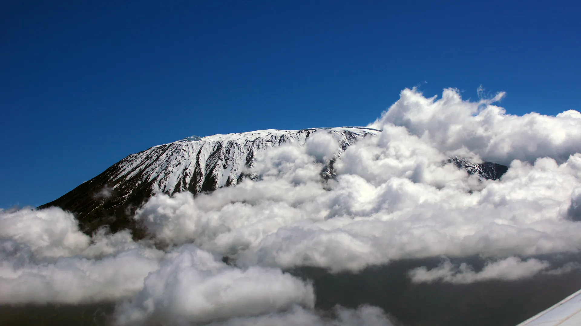
Rongai Route
The quiet northern approach, from near the Kenyan border.
- Duration
- 6–7 days
- Summit
- 5,895 m (19,341 ft)
- Sleeping
- Camping
- Crowds
- Quiet
- Difficulty
- Moderate
The Rongai Route is the only one that climbs Kilimanjaro from the north. It starts near the Kenyan border, in pine plantations and forest where colobus monkeys are often seen, and climbs steadily over open moorland towards the jagged peak of Mawenzi.
The north side is drier than the south, which makes Rongai a good choice in the rainy months. The gradient is gentle, the camps are quiet and the night at Mawenzi Tarn, below the cliffs of Kilimanjaro's second summit, is one of the most dramatic on the mountain. You descend the south side by the Marangu route.
Why choose this route
- A quiet, gentle climb on the drier northern side
- A night at Mawenzi Tarn beneath the cliffs of Mawenzi
- A good choice in the rainy months
Good to know
- Scenery on the lower slopes is less varied than on the southern routes
- The drive round to the trailhead adds time on the first day
- You sleep in tents on the way up and at Horombo Hut on the way down
Map of the Rongai Route
The trail as it is mapped on the ground, with every gate, camp and high point we pass. Select a place in the list to find it on the map.
Altitude profile
How high you climb, and where you sleep. Dips in the line are "walk high, sleep low" days that help your body adjust.
Altitude at each gate, camp and high point, in walking order. Distances between points are not to scale.
Rongai Route itinerary
The day-by-day plan we follow on our Kilimanjaro Rongai Route — 7-Day Northern Approach.
After registering at Marangu Gate, drive around the eastern side of the mountain to the Rongai trailhead (about 1,950 m) near the Kenyan border, and meet your crew.
The path climbs gently through pine plantations and natural forest, where you may see colobus monkeys, before reaching the first moorland and Simba Camp, with views back over the plains.
Distance about 7 km, walking time 3–4 hours.
Overnight: Simba Camp (Full Board)
Climb steadily through heather and moorland, with Kibo and Mawenzi coming into view and wide views north into Kenya.
Arrive at Second Cave Camp, set among old lava formations, in time for a hot lunch and an afternoon of rest.
Distance about 6 km, walking time 3–4 hours.
Overnight: Second Cave Camp (Full Board)
Leave the main trail and head across the moorland towards the jagged peaks of Mawenzi. The walk is gentle, giving your body time to adapt to the altitude.
Kikelewa Camp sits in a sheltered valley with giant groundsels and dramatic views of Mawenzi's pinnacles.
Distance about 6 km, walking time 3–4 hours.
Overnight: Kikelewa Camp (Full Board)
A short but steep climb brings you to Mawenzi Tarn Camp, beside a small tarn in a cirque beneath the spires of Mawenzi, one of the most beautiful campsites on Kilimanjaro.
In the afternoon, join your guide on an acclimatisation walk towards the Mawenzi ridge before returning to camp for the night.
Distance about 4 km, walking time 3–4 hours.
Overnight: Mawenzi Tarn Camp (Full Board)
Cross the Saddle, the wide lunar desert between Mawenzi and Kibo, with the summit cone growing larger ahead.
Arrive at School Hut in the early afternoon. Rest, drink plenty of water and prepare your clothing and headtorch while your guides check your health. An early dinner is followed by a few hours of sleep before the summit attempt.
Distance about 8 km, walking time 5–6 hours.
Overnight: School Hut Camp (Full Board)
Start around midnight and climb the steep scree by headtorch, passing Hans Meyer Cave on the way to Gilman's Point (5,681 m) on the crater rim, usually reached around dawn. A further one to two hours along the rim bring you to Uhuru Peak (5,895 m), the highest point in Africa.
After photographs, descend to Kibo Hut for a rest and a meal, then continue down the southern side of the mountain to Horombo Hut.
A demanding day of 12–15 hours in total.
Overnight: Horombo Hut (3,720 m, Full Board)
Descend through moorland and rainforest to Marangu Gate, sign out of the park and receive your summit certificate. Say thank you and farewell to your crew.
Distance about 20 km, walking time 5–6 hours. Transfer to your hotel in Moshi or Arusha.
End of trek.
Rongai Route: questions and answers
- Is Rongai a good route for beginners?
- Yes. Its steady gradient and quieter camps make it one of the gentler routes. We climb it in seven days to give you time to acclimatise.
- Which way do we come down?
- You descend the southern side by the Marangu route, spending the last night at Horombo Hut, so you see both sides of the mountain.
Other routes up Kilimanjaro
Compare all routesMachame Route
Kilimanjaro's classic: rainforest, the Lava Tower and the Barranco Wall.
Route guide and map → 7–8 daysLemosho Route
The most beautiful way up: a quiet western start and the wide Shira Plateau.
Route guide and map → 9 daysNorthern Circuit Route
The longest and quietest route, around the wild northern slopes.
Route guide and map →