


The "Whiskey" route
Machame Route
Kilimanjaro's classic: rainforest, the Lava Tower and the Barranco Wall.
- Duration
- 6–7 days
- Summit
- 5,895 m (19,341 ft)
- Sleeping
- Camping
- Crowds
- Busy
- Difficulty
- Challenging
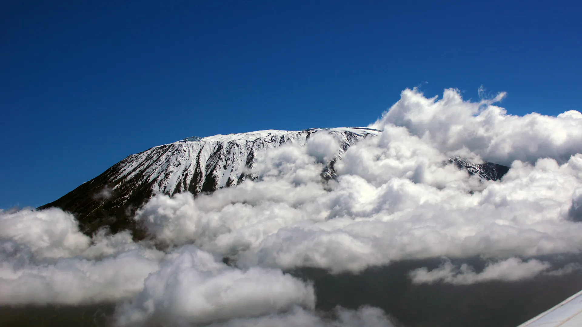
The Machame Route climbs Kilimanjaro from the south-west. It starts in thick rainforest at Machame Gate, rises onto the Shira Plateau and then traverses beneath the southern ice fields before the summit push from Barafu Camp. It is called the "Whiskey" route because it is steeper and harder than the hut-based Marangu.
Its great strength is acclimatisation built into the route itself. On day three you climb to the Lava Tower at 4,630 m and come back down to sleep at Barranco Camp at 3,960 m. The next morning brings the Barranco Wall, a steep scramble that looks harder than it is, and most climbers remember it as a highlight. You come down a different way, by the Mweka trail.
Why choose this route
- A "walk high, sleep low" day at the Lava Tower (4,630 m) is part of the plan
- The Barranco Wall scramble, with views of the southern ice fields
- All five climate zones, and a different trail down
Good to know
- It is the busiest route on the mountain, especially from June to October
- You sleep in tents: there are no huts on this route
- We climb it in 7 days, with a night at Karanga Camp before the summit
Map of the Machame Route
The trail as it is mapped on the ground, with every gate, camp and high point we pass. Select a place in the list to find it on the map.
Altitude profile
How high you climb, and where you sleep. Dips in the line are "walk high, sleep low" days that help your body adjust.
Altitude at each gate, camp and high point, in walking order. Distances between points are not to scale.
Machame Route itinerary
The day-by-day plan we follow on our Kilimanjaro Machame Route — 7-Day Whiskey Trail.
After a briefing and kit check at your hotel in Moshi, drive to Machame Gate (1,800 m), register with Kilimanjaro National Park and meet your mountain crew.
The trail climbs steadily through lush rainforest, often muddy and misty, with giant ferns, moss-covered trees and the calls of turacos and blue monkeys. Your guide keeps a slow, steady pace to help your body begin to acclimatise.
Arrive at Machame Camp at the edge of the forest, where your crew has set up the tents and prepared hot water and a meal.
Distance about 11 km, walking time 5–7 hours.
Overnight: Machame Camp (Full Board)
Leave the forest behind and climb a steep, rocky ridge through giant heather and moorland. As the vegetation thins, the views open up across the lowlands and towards the summit of Kibo.
The path eases as you reach the Shira Plateau, an ancient collapsed caldera, and arrive at Shira Cave Camp. In the late afternoon, the sunset over Mount Meru floating above the clouds is often spectacular.
Distance about 5 km, walking time 4–6 hours.
Overnight: Shira Cave Camp (Full Board)
This is an important acclimatisation day. Climb east across alpine desert to Lava Tower, a 90-metre volcanic plug at 4,630 m, where you stop for lunch and let your body feel the altitude.
Then descend into the Barranco Valley through a strange landscape of giant groundsels to Barranco Camp, which lies beneath the towering Barranco Wall. Sleeping lower than the day's high point helps your body adapt.
Distance about 10 km, walking time 6–8 hours.
Overnight: Barranco Camp (Full Board)
Start the day by climbing the Barranco Wall, a steep 250-metre rock face that looks intimidating but is a non-technical scramble with handholds. From the top, the views of the southern ice fields and the plains below are superb.
The trail then crosses a series of ridges and valleys to Karanga Camp, the last water point on the route. A shorter day gives you more time to rest and acclimatise.
Distance about 5 km, walking time 4–5 hours.
Overnight: Karanga Camp (Full Board)
A short but steady climb over rocky ground brings you to Barafu Camp, the base camp for the summit, perched on an exposed ridge.
Arrive around lunchtime and spend the afternoon resting, drinking plenty of water and preparing your clothing and equipment. Your guides check your health and explain the plan for the night. After an early dinner, go to bed as early as possible.
Distance about 4 km, walking time 4–5 hours.
Overnight: Barafu Camp (Full Board)
Wake around midnight and begin the climb by headtorch up the steep scree slopes. It is cold and slow, and your guides set a steady rhythm. After about six hours you reach Stella Point (5,756 m) on the crater rim as the sun rises, and a further hour along the rim brings you to Uhuru Peak (5,895 m), the highest point in Africa.
After time for photographs, descend to Barafu Camp for a rest and a meal, then continue down to Mweka Camp in the upper forest.
A demanding day of 12–15 hours in total.
Overnight: Mweka Camp (3,100 m, Full Board)
Descend through the rainforest to Mweka Gate (1,640 m), where you sign out of the park and receive your summit certificate. Say thank you and farewell to your mountain crew.
Distance about 10 km, walking time 3–4 hours. Transfer to your hotel in Moshi or Arusha to celebrate.
End of trek.
Machame Route: questions and answers
- Is the Barranco Wall dangerous?
- No. It is a non-technical scramble of about 250 m with good hand- and footholds. Our guides walk it with you, and it usually takes one to two hours.
- Why do you climb Machame in 7 days, not 6?
- The extra night at Karanga Camp splits the long day before the summit in two and gives your body one more day to adjust, which improves your chance of reaching Uhuru Peak.
Other routes up Kilimanjaro
Compare all routesLemosho Route
The most beautiful way up: a quiet western start and the wide Shira Plateau.
Route guide and map → 9 daysNorthern Circuit Route
The longest and quietest route, around the wild northern slopes.
Route guide and map → 6–7 daysRongai Route
The quiet northern approach, from near the Kenyan border.
Route guide and map →